Hiking Mt Ćurevac
April 24, 2018 6 min read
Durmitor National Park in northwestern Montenegro is named after the Durmitor massif. The massif is part of the Dinaric Alps and it has 48 peaks above 2000m with the highest, Bobotov Kuk, reaching a height of 2523m. Tara River limits the park in the north where it cuts through the 82km long Tara River Canyon. The deepest point of the canyon is 1300m making it the deepest gorge in Europe.
River rafting is popular in Montenegro and there are half-, one- and two-day tours available for the Tara River. You get the best views of the river and the dramatic canyon from the water, but to get the full experience you need to do one of the longer rafting tours. The shortest one includes many of the rapids (21 out of 50 in total), but it starts outside the national park and you will not pass through the most impressing parts of the canyon.
What if you don’t want to do a 1-2 day rafting tour, but you still want to get a glimpse of the canyon? You should head to a viewpoint at the top of Mt Ćurevac overlooking the canyon where it is at its deepest. The viewpoint is not close to the river so you will watch it from afar, but the view is still great. As a bonus, you get to do a short hike to reach the viewpoint.
During a long road trip when you spend many hours in the car, it is always a good idea to do a few short hikes to breathe fresh air and to stretch your legs. When driving through a beautiful landscape one can see it all from the car, but I always want to get out there and feel the dirt under my feet, lay down in the grass or sit on a stone on a mountain top philosophizing for a while. A good road trip hike is short and not strenuous. I don’t want to struggle up and down a steep mountain just to come back to the car exhausted and sweaty to continue to the next stop.
The hike to Mt Ćurevac ticks all the right boxes for a good road trip hike. It is short; I don’t know the exact distance but maybe around 1-1.5km one way, so let’s say 2-3km for the full hike. I came to this conclusion by measuring on Google Maps so it is just an approximation. There is not much elevation gain, you must cross a hill, but it isn’t steep. The path is natural, so you get that real hiking feeling. And, last but not least, you are rewarded with a lovely view at the end of the trail. It would have been even better if the path was circular and you didn’t have to walk back the same way, but you can’t have it all.
Žabljak is the only town in the national park and it will likely be the starting point when you go to Mt Ćurevac. It’s about 8km from the center of Žabljak to the parking at the start of the hike. The parking is marked on the map below and it should be easy to find using a GPS and the coordinates 43.193896, 19.089645. It’s also possible to walk all the way from Žabljak if you don’t have a car.
If you are not using a GPS, you should be able to find the parking using the same description as I did. I think I got it from a Lonely Planet guidebook so they should have credit for it.
From the center of Žabljak, take the Narodnih heroja road and turn left at the spot marked on the map. If you look at the street view in Google Maps, there is a sign saying Restoran Momčilov Grad at the turn (not sure if it is still there though). Then keep right and follow the road.
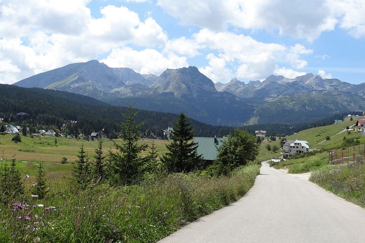
Work your way up the hill and follow signs towards Tepca. Where the road splits with no signs, I followed the rule to stay on the bigger road. After a while you should see signs to Ćurevac or vidikovac which means viewpoint in Montenegrin. The last part of the road goes through a forest before arriving at the parking. There is a clearing in the forest and parking spaces on grass.
See the map for an alternative trail to the viewpoint. If walking from Žabljak, you will approach the viewpoint on this trail. I saw hikers on the path, but I didn’t try it myself. The trail from the parking is more scenic as it follows the edge of the mountain with a nice view of the valley below.
Before entering the trail, you must pay a national park fee. There was a member of the park staff selling tickets at the parking. I don’t know if that is always the case, so it might be good to check that in advance. The ticket was cheap, around 3-4 euros.
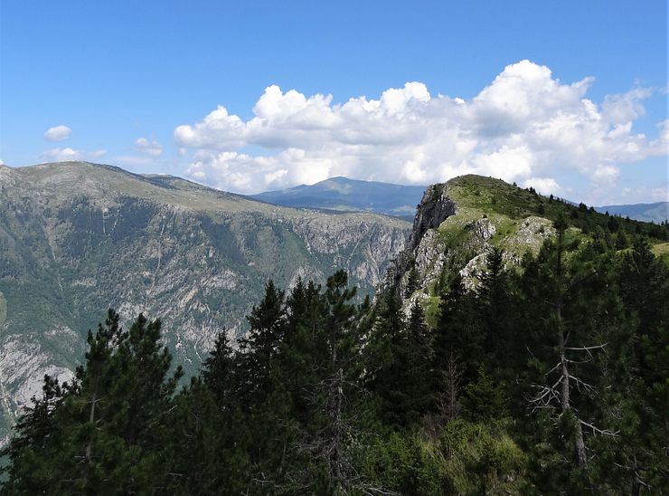
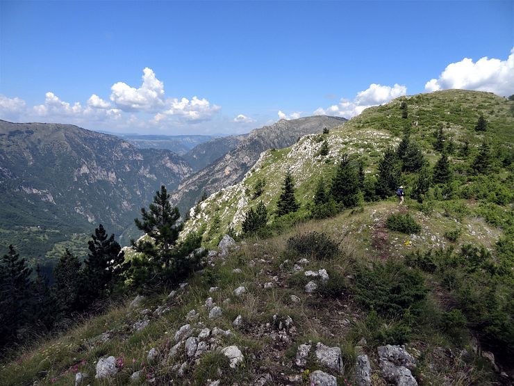
The path to the top of Mt Ćurevac is easy walking and I cannot see anyone getting lost here so a map shouldn’t be necessary. The trail follows the edge of a cliff and as long as you have that one somewhere to the left you are on the right track. Initially, the path goes through the forest before the terrain opens up and you see the viewpoint ahead.
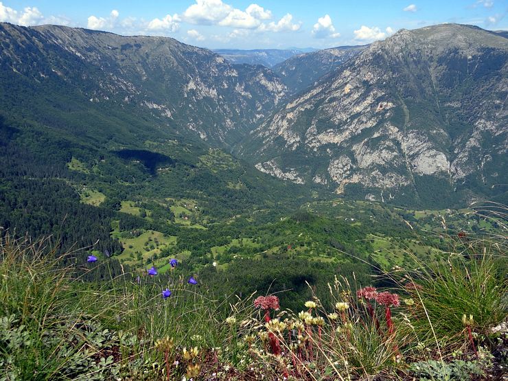
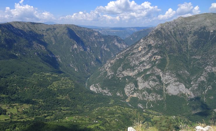
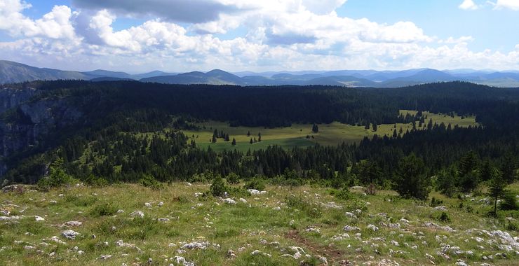
To the north, a valley leads down to the canyon and to the south we have green fields mixed with forest.
After a while you must cross a hill, but it has a gentle slope. You will probably not be alone on the trail unless you come offseason, but it will not be crowded so you can walk in peace and enjoy the tranquility of the area.
Arriving at the viewpoint you have a superb view over the surrounding landscape with the Tara River passing by in the canyon below. The river flows from south to north and makes a turn to disappear behind the canyon wall. You are quite far from the river here so to get a better look I recommend bringing binoculars.
After enjoying the panorama and some refreshments, it is the same way back to the parking. The view to the south is also pleasant.
Comments
Comments are closed. Contact me if you have a question concerning the content of this page.