Trøllkonufingur
August 16, 2018 3 min read
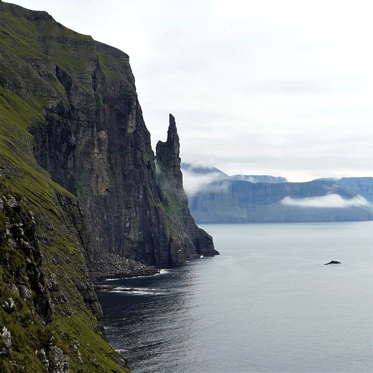
At the southeastern shore of the island Vágar, near to Sandavágur, a 313m (1027ft) high monolith rises from the sea. The Faroese name of the rock pillar is Trøllkonufingur, meaning Witch’s Finger or Troll woman’s finger.
It’s hard to think of a more suitable name for the pillar shaped like an old, crooked finger with weathered skin and a sharp blackened nail.
According to Faroese folklore, a witch was about to throw the Faroe Islands all the way to Iceland. I couldn’t find much information about this legend so I don’t know why the witch wanted to do it, but I guess she had her reasons. Things didn’t go according to plan, and the witch suffered a terrible fate. When she was approaching Vágar, the rays of the rising sun hit the troll woman and turned her into stone.
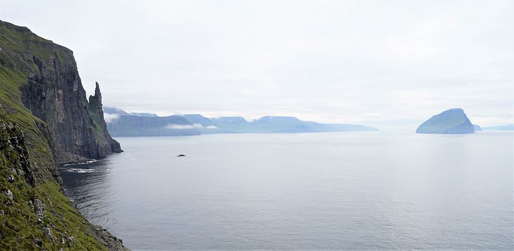
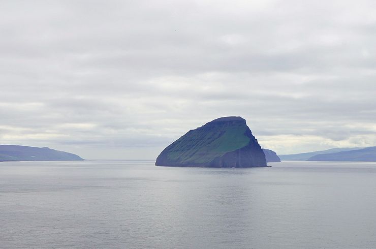
The petrified witch fell into the water and sunk to the bottom of the ocean. She landed face down with one arm still reaching out trying to grab Vágar. She was so big that her pointy finger and the back of her head were still above the surface. Today we know the finger as Trøllkonufingur and the head as the island Koltur.
We almost missed the Trøllkonufingur viewpoint during our trip to the Faroe Islands. We saw the monolith from a distance when hiking to the Sørvágsvatn lake, but we didn’t know about the viewpoint. I thought it was necessary to do quite a long hike to get closer to Trøllkonufingur; I had read about it before the trip. With so much else to see, it didn’t seem worth it to do a several-hour long hike to get close to Trøllkonufingur.
When passing through Sandavágur on the way to Gásadalur, we saw a sign saying Trøllkonufingur 2. Great, there seemed to be an easier way to see Trøllkonufingur, and we decided to do it the last day of our trip on the way to the nearby airport.
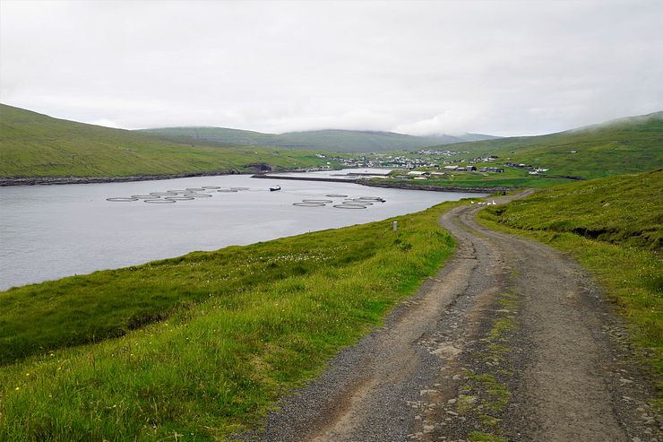
The viewpoint is easy to find, follow the signs to Trøllkonufingur from the main road. When you have passed through Sandavágur, the road becomes narrow and it’s in rather bad shape. If you don’t want to drive this narrow road, you can leave the car at the start of it and walk to the viewpoint instead.
You don’t have to drive far until you arrive at a spot where you must park the car and continue the last few hundred meters to the viewpoint on foot.
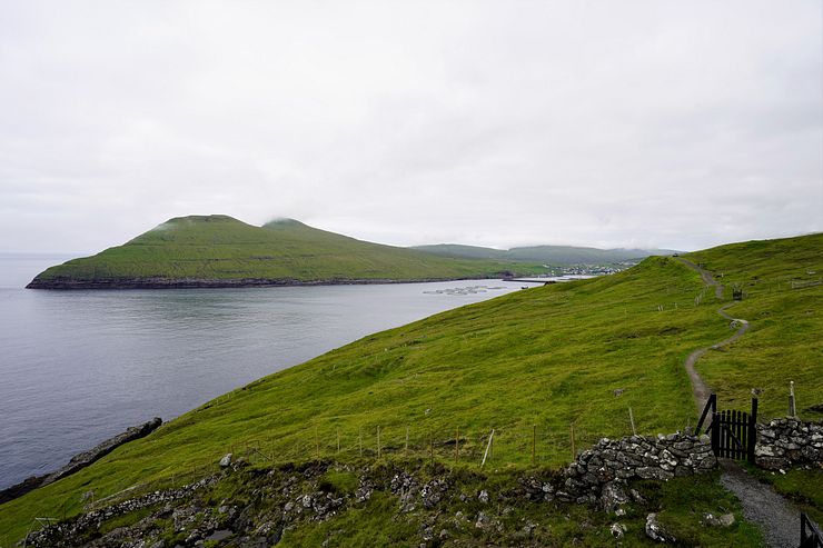
The “parking” at the end of the narrow road is marked on the map below (62.045021, -7.130842). The viewpoint is further down the road that turns into a path. It’s a short walk to the viewpoint after parking the car. If you are not driving, you can of course also walk all the way from Sandavágur, it’s a nice walk.
The viewpoint is not so close to Trøllkonufingur but you still get a nice view of the rock pillar and of the oddly shaped Koltur island.
The road to the viewpoint is probably the worst of the roads we experienced in the Faroe Islands. It is not uncommon with narrow single-track roads, but they are usually in good condition and easy to drive. This road is also easy to drive, but it needs to be resurfaced . Here is a video of the drive from the viewpoint parking back to Sandavágur.
Are you a climber and are thinking of climbing Trøllkonufingur? It can be done, but only 11 people have reached the top. Two teams from the Faroe Islands and one from New Zealand have conquered the finger. A local team made the first ascent in 2012. In 2016, three New Zealand climbers established a new, sea-facing route up the stone pillar. Good luck in becoming the 12th person to stand on the top of Trøllkonufingur!
Vágar has several of the best sights in the Faroes and it’s worth spending two days on the island. You just have to see Lake Sørvágsvatn, a unique and magic location. The Drangarnir sea stacks is a half-day hike with amazing views. The Múlafossur waterfall in Gásadalur is a must-see.
A popular activity is to make a day trip to Mykines to see puffins and hike to a lighthouse. It’s not on Vágar, but the ferry to Mykines departs from Sørvágur.
Comments
Comments are closed. Contact me if you have a question concerning the content of this page.